
For Immediate Release: October 20, 2011
504-862-2587
NEW ORLEANS – Approval has been granted for the U.S. Army Corps of Engineers, New Orleans District to re-align the federally-authorized navigation channel in the Lower Atchafalaya River to Crewboat Cut instead of the Horseshoe Bend reach. Crewboat Cut is already the preferred navigation route for local navigation. An analysis of the new channel shows that cost savings can be achieved since the Crewboat Cut channel would require less dredging.
The Atchafalaya River and Bayous Chene, Boeuf and Black, Louisiana federal navigation project meanders through St Mary and Terrebonne parishes. Annual maintenance dredging of the current authorized channel in the Horseshoe Bend reach totals approximately 800,000 cubic yards per year. The proposed realignment through what is locally known as Crewboat Cut will only require approximately 200,000 cubic yards to be removed on an annual basis.
“Analysis conducted by the Corps of Engineers shows that annual maintenance costs for this reach could decline by an estimated $7.4 million,” said Darrel Broussard, Senior Project Manager. “The lower cost for maintenance from a reduction in dredging costs provides a basis for our recommendation to change the channel alignment to Crewboat Cut.”
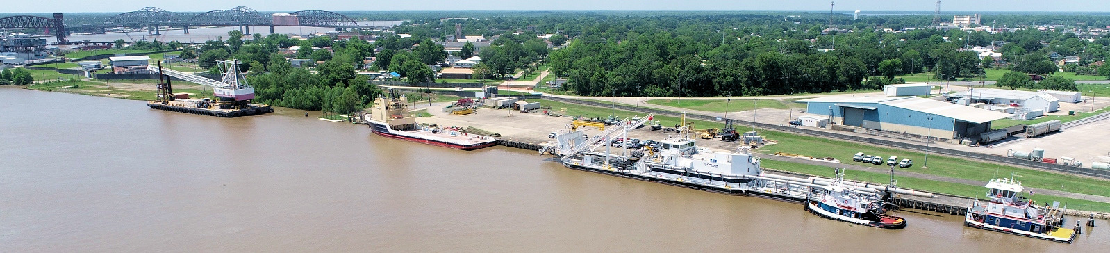
"This is certainly good news and one that we have been waiting to hear for a long time. The success of this endeavor came about with the cooperation and hard work of local businesses and citizenry, the Port Commission and the Corps of Engineers. It is an example of what can be done when you work together and persist in a common goal. Now comes the hard part and that is finding the money in these financially difficult times to bring this project to its final conclusion,” said Jerry Hoffpauir, Executive Director, Port of Morgan City.
Hydrodynamic modeling was conducted to determine potential effects on water stages in and around Morgan City, estimate sedimentation rates, and provide data for a ship simulation model. The model showed that no measurable change would occur in water stages in Morgan City and sedimentation rates in the Crewboat Cut as a result of channel realignment. In addition, the ship simulator indicated that the new channel would be a safe navigation route for vessels that already use the current channel.
To ensure that the banks of the Crewboat Cut navigation channel remain stable, 1.8 miles of stone bank protection must be placed along the east bank of the channel. The new channel alignment will not be adopted into the federal system until the bank protection measures are in place.
Once the federal navigation channel has been re-aligned, the Corps anticipates that the Horseshoe Bend reach will naturally shoal over time.