What is M-49 and what is a Marine Highway Project?
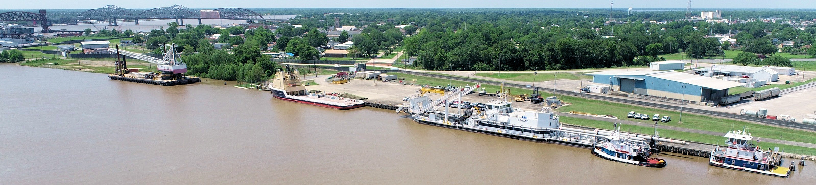
The U. S. Department of Transportation Maritime Administration has designated Marine Highway Routes that basically run parallel to Interstate Highways. A Marine Highway Route is simply a navigable waterway that moves freight. The Ports of Morgan City, Krotz Springs, Avoyelles Parish, Natchitoches Parish, Red River Parish, Central Louisiana and Caddo-Bossier are all located on designated Marine Highway Route M-49. M-49 includes the portion of the Red River known as the J. Bennett Johnson Waterway and the Atchafalaya River, which is associated with I-49. A Marine Highway Project is a service that moves freight. In order to have a Marine Highway Project application approved, the applicant has to meet certain criteria such as financial viability, providing a cost savings to customers, and providing public benefits (emission reduction.)
The Atchafalaya and Red River Ports and the Red River Waterway Commission hosted a round table in partnership with the U.S. Department of Transportation Maritime Administration to look for new opportunities to increase waterway traffic along the designated M-49 Route.
Below are links to more information on this important project: